 -
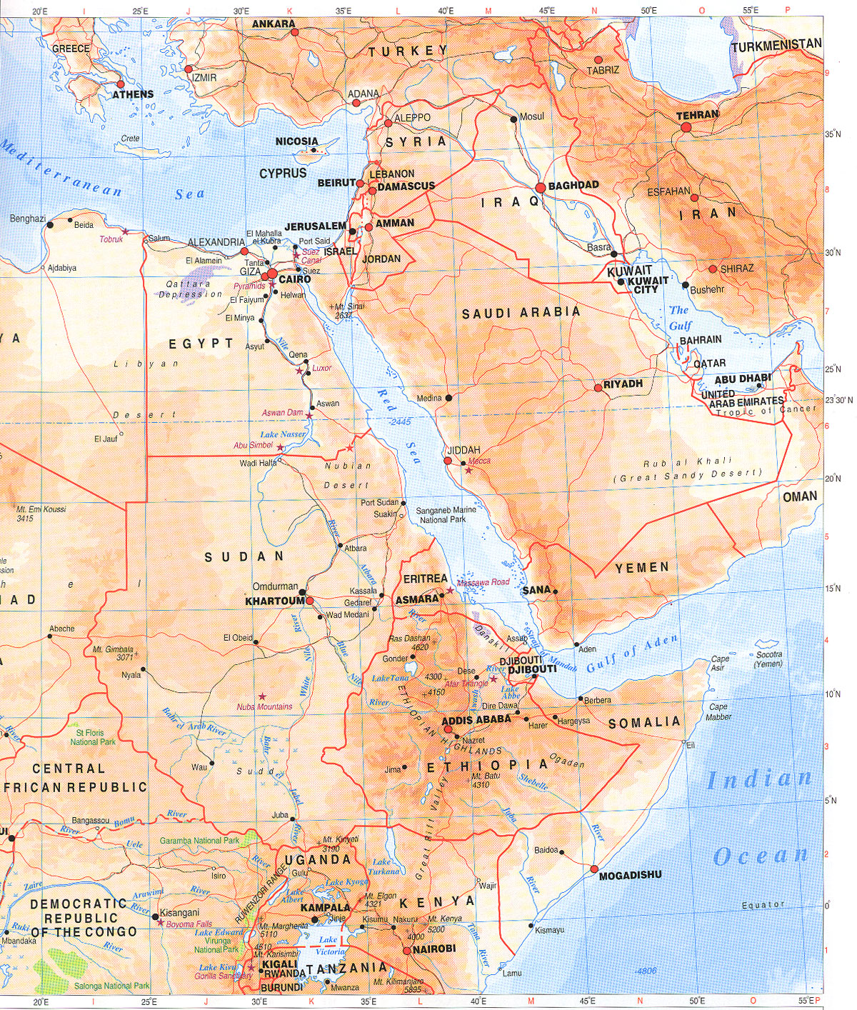
-Can you spot the Nile river in this map? If you have spotted the Nile River, do you spot the White Nile River, the Blue Nile River and the Atbara?
The Blue Nile and White Niles are the two main rivers that flow from the south into what is referred as the Nile proper. The White Nile is the longer of its tributaries, and the Blue Nile is the source of water and fertile soil. As for the Atbara, it flows into the Nile just north of Khartoum in the Sudan but it contributes less than one percent to total water flow.

The Blue Nile (left), White Nile (right), merge near Khartoum, Sudan
Now back to the Nile River, its 6695km long, the major cities that are located on the edge of the Nile and White Nile are: Cairo, Gondokoro, Khartoum, Aswan, Thebes, Karnak, and the town of Alexandria lies near the Rozeta branch.
After seeing the map, a question popped up my mind. Why does the river flow from south to north? Its because the river just flows down hill, from the high mountains in the middle of Africa to the Nile delta (point where Nile enters the Mediterranean Sea). The picture below will show:

Millions of people commute on the Nile river everyday. For tourism, luxury cruises and traditional Egyptian sailing boats travel on the Nile river each day. Some of these boats drop tourists off at tourist attractions and is the livelihood of many people.
As for farming, there are hundreds of farms along the Nile, and usually farmers use boats to transport items such as rice, wheat, cattle, and hay between locations on the Nile.
Another on which is fishing, for some fishing is a main source of income and wealth.
the end^^
No comments:
Post a Comment